
List on Ebay
BOX 21-01-25
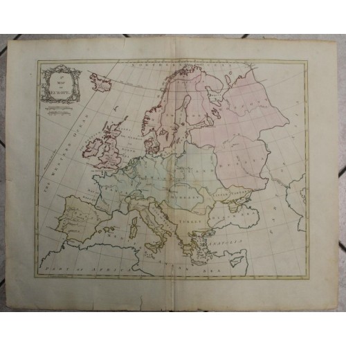
EUROPEAN CONTINENT 1775 PALAIRET UNUSUAL ANTIQUE ORIGINAL COPPER ENGRAVED MAP
ANTIQUE COPPER ENGRAVED MAP OF EUROPEAN CONTINENT 1775
old times rare books and maps
old times rare books and maps
(19538)
100% positiveSeller's other itemsSeller's other itemsContact seller
US $16.01
EUROPEAN CONTINENT 1775 PALAIRET UNUSUAL ANTIQUE ORIGINAL COPPER ENGRAVED MAP
Description
1.st Map of Europe.
Description: Striking and highly detailed very interesting 1775 large Jean Pailaret's copper engraved map of European Continent, with political divisions. The map is filled with a rococo-style title cartouche.
Date: 1775 ( undated )
Dimension: Paper size approx.: cm 66,4 x 54,6
Condition: Very strong and dark impression on good paper. Paper with chains. Map old original colored. Wide margins. Small foxing and browning. Map folded. Conditions are as you can see in the images.
Cartographer: Jean Palairet (1697–1774) was a French cartographer. Jean Palairet was born in Montauban, but emigrated to England. He worked as an agent in London for the French States General, and taught French to the children of George II. While working as London agent for Jacob Boreel, Palairet apparently played a part in introducing the game of cricket to the Netherlands: in 1765 he sent four balls and 12 bats to the Netherlands, and attempted to find a copy of a rule-book for the game.
10876
- Product Code: 10876
- Availability: In Stock
-
$0.00
- Ex Tax: $0.00