
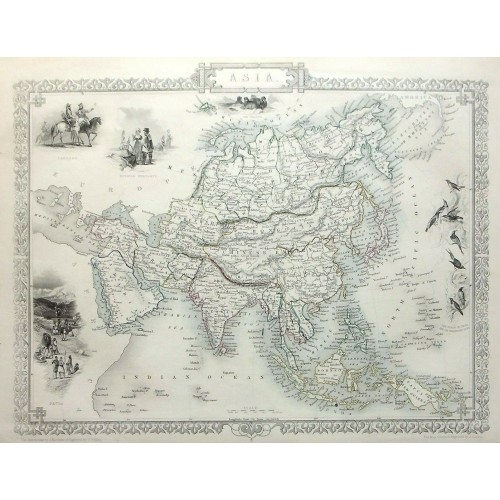
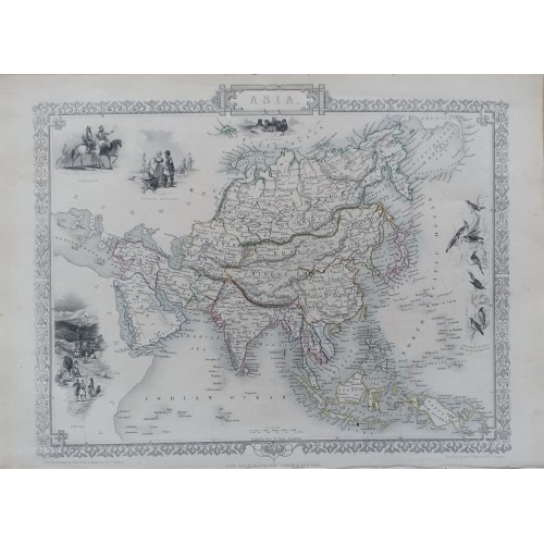
ASIA, INDIA, CHINA, JAPAN, RUSSIA, original antique map, RAPKIN, TALLIS, 1851
Condition:--
“Very good condition. Outline hand colouring. Light age toning / handling marks. Several very minor ” ... Read more
Sold for:
GBP 100.00
Approximately 10,375.45 RUB
Title / Subject: Asia
Date: 1851
Size: the sheet measures approximately 370mm x 270mm; blank verso
Description: A very finely engraved original, outline hand coloured, antique map of Asia in the mid 19th century. The map is decorated with several beautifully engraved vignettes, including a view of Petra.
Cartographer / engraver: Map drawn and engraved by J. Rapkin. Illustrations by J. Marchant.
Provenance: 'Tallis's Illustrated Atlas, and Modern History of the World, Geographical, Political, Commercial, and Statistical. Edited by R. Montgomery Esq', published by John Tallis and Company, London and New York, 1851
Condition: Very good condition. Outline hand colouring. Light age toning / handling marks. Please study all the photographs carefully to fully appreciate the condition.
9545
- Product Code: 9545
- Availability: In Stock
-
$0.00
- Ex Tax: $0.00